
‘Young minds’ is relative when talking about 50 Maps of the World. As a kid, I remember scouring over the world atlas our family had. It was an atlas in the truest sense of the word. There were brown patches for mountains, greens for the valleys, tan for the dessert, and varying blues for the vast amount of water. It was a cold, serious atlas and I loved it. 50 Maps of the World takes that innate curiosity that kids have about the world, enlarges it on brightly colored engaging maps, and amps up the wanderlust.
The first thing that you’ll notice about the book is its size. This is a massive book that’s 13’ high and 11’ wide and hums along to a high-quality presentation that dares you to stop turning its pages. Much like you fail in trying to eat only one potato chip or not watch cat videos online, this book is effortless to enjoy and will suck in readers aged 8 and up.
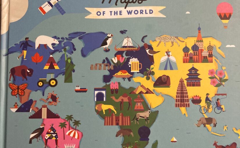
The book can start to be enjoyed by those in middle school. Those ages will start to study about things outside of their own country, have traveled overseas themselves or have family abroad. As soon as you open the book you see a world map that offers a sample of what each country or geographic region has to offer. Some are physical landmarks, others are animals, the distinctive dress that they wear, or the food and drink that their culture celebrates.
To that end, 50 Maps of the World isn’t a map book, per se. The scale of some countries won’t be precise and the longitude and latitude lines won’t measure up to your sextant. It also won’t point out the foibles in their government or divide some borders as strongly as some readers might want. In its place are icons, people of note, key facts, moments to remember, and more from all over this blue marble we call home. This isn’t a purist’s map book. It’s an introduction for upper elementary and middle school readers to discover new cultures and to be introduced to the bigger world in front of them.
Every country in the world isn’t included and the bigger countries share the same page space as the smaller geographic ones. For example, Portugal is nowhere to be seen, but China and the United States have the same amount of pages devoted to them as Jordan or Iran.
The results are immersive and guaranteed to draw you in, as well as, having you learn multiple things from every page in the book. It’s soft learning that’s accompanied by at least a dozen pictures of points of interest for each country and a snippet about each place. Readers will find where they live and then check out some of the important dates that happened in their country. Then they’ll turn the page and see a picture that they know and learn that the Kyburg Castle is one of the oldest surviving castles in Switzerland. They’ll be able to touch the authentic armor there and learn all about medieval times, but without the jousting or yards to drink.
50 Maps of the World is as much of an armchair travel guide as it is a resource for ages 8 and up to explore at their own pace. Those ages will be able to read the vast majority of the words in the book and the pictures will ensure that they continue reading and learning. Just don’t tell them the second part because it’s likely they’ll spend time with the book and either get the travel bug or see an area that they want to read more about.
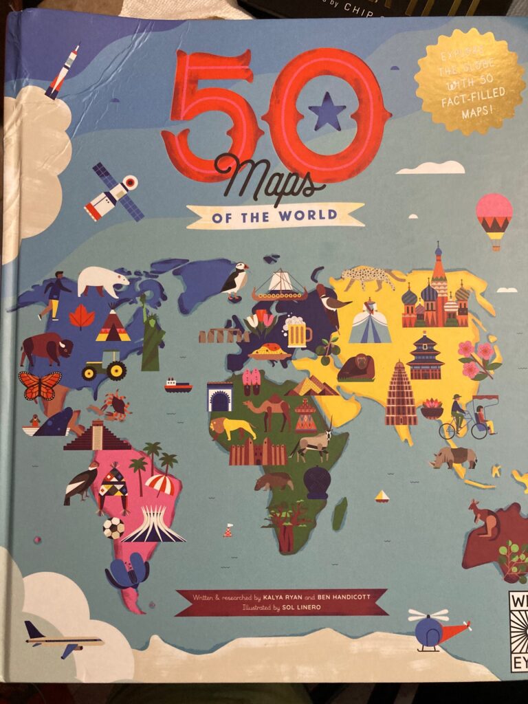
50 Maps of the World is written and researched by Kalya Ryan and Ben Handicott with illustrations by Sol Linero and on Wide Eyed Editions, an imprint of The Quarto Group.
There are affiliate links in this post.


 Facebook
 Twitter
 Youtube